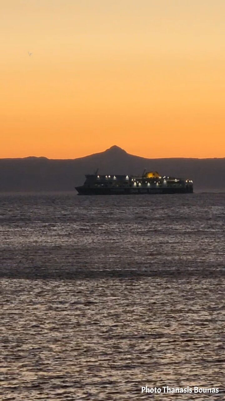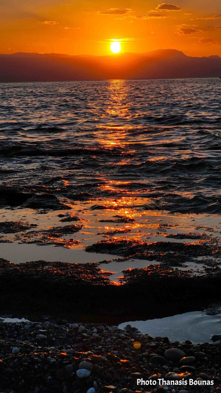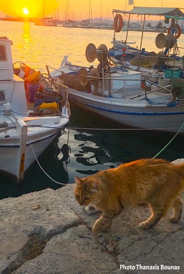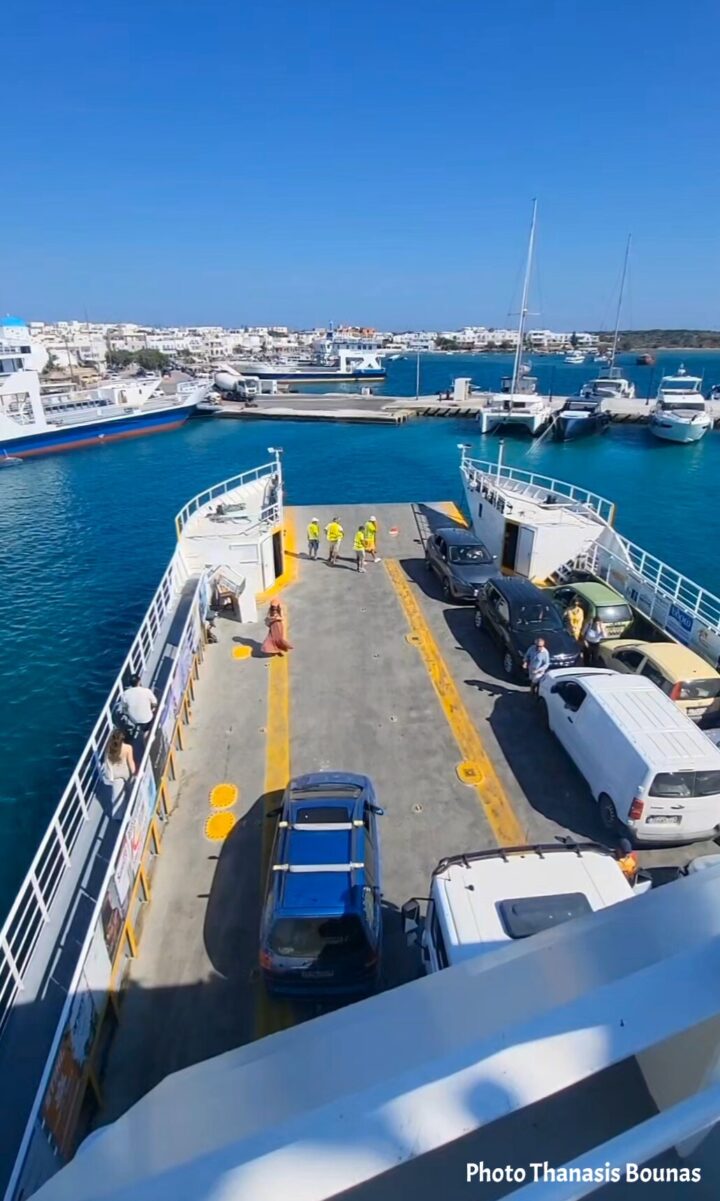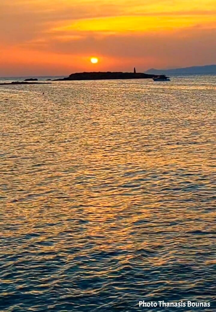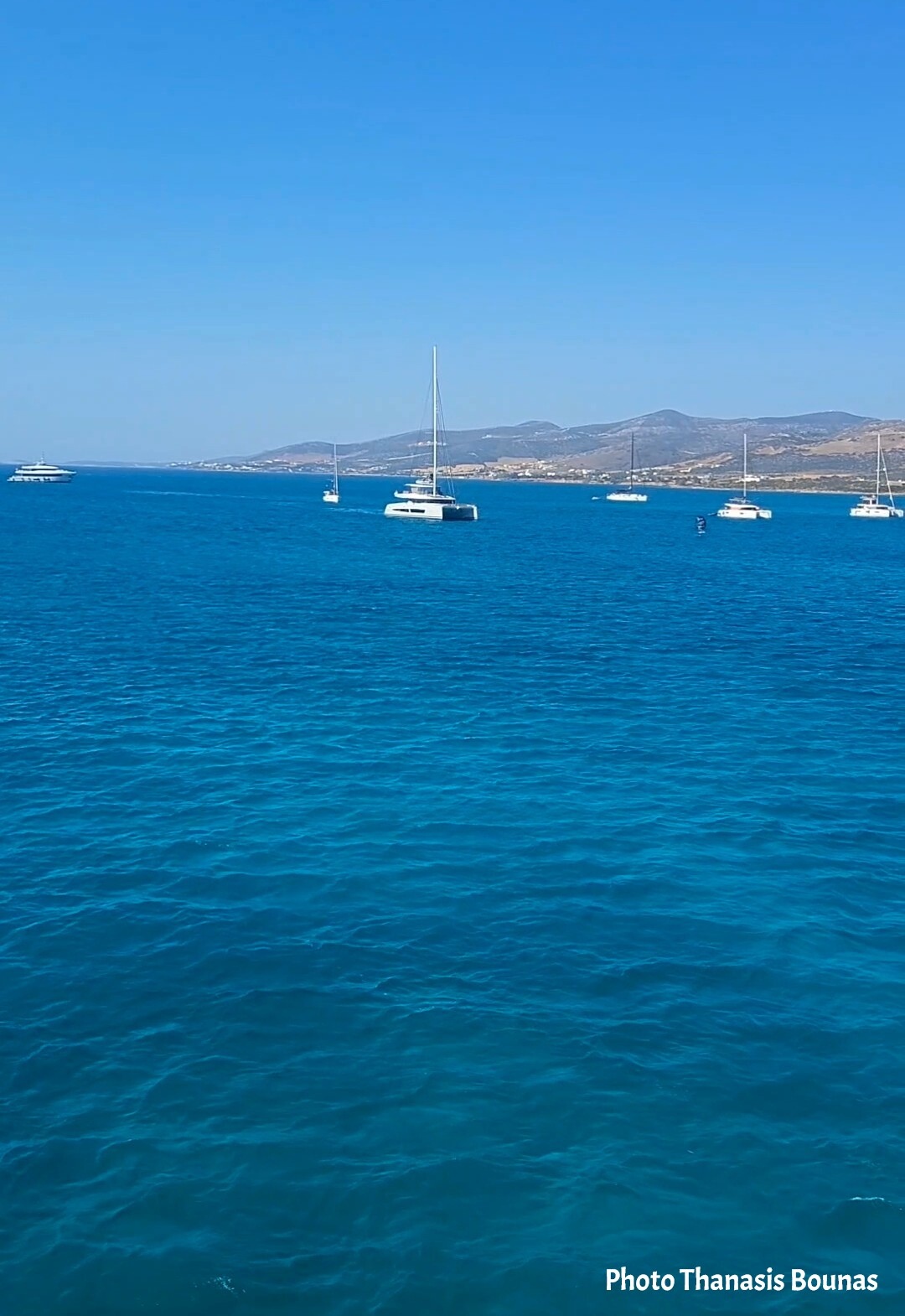
Approaching Antiparos from the sea is one of those moments when the simplicity of the Cyclades becomes clear.
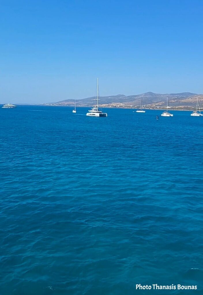
Blue water surrounds the island, sailing boats rest quietly offshore, and the low landscape of Antiparos gradually takes shape beneath the Greek sun.
Today, travelers arrive here looking for clear water, quiet beaches and the distinctive atmosphere of a smaller Cycladic island.
But the sea surrounding Antiparos has carried people for thousands of years.
The island and the small islets around it occupy a strategic geographical position in the heart of the Cyclades, along maritime routes that connected communities throughout the Aegean.
Long before modern vessels crossed these waters, the geography around Antiparos was already influencing how people lived, traveled and communicated.
Arriving in Antiparos, Greece.
Between Paros and the Open Aegean
Antiparos lies immediately west of Paros, separated from it today by a narrow channel.
The two islands seem clearly divided when viewed on a modern map.
Thousands of years ago, however, the landscape was very different.
During the Neolithic period, when sea level was lower, Antiparos, Paros and some of the surrounding land formed a much larger connected landscape that archaeologists conventionally describe as “Greater Paros.”
The sea eventually transformed that landscape.
As water levels rose, channels appeared and former pieces of land became separate islands and islets.
What remained was an extraordinary geography of narrow passages, protected bays and small islands clustered around Paros and Antiparos.
For people traveling through the prehistoric Aegean, geography like this mattered.
These were not isolated pieces of land.
They were part of a maritime world.
Saliagos and the First Communities
One of the strongest pieces of evidence for the very early human presence in this area comes from Saliagos, the tiny islet between Paros and Antiparos.
Today it is surrounded by water.
During the Late Neolithic period, however, it formed part of the land connecting the two larger islands.
Archaeologists discovered there one of the earliest known organized settlements in the Cyclades, dating to the 5th millennium BC. Excavations revealed evidence of a small community whose inhabitants relied heavily on fishing while also producing tools and other objects.
Large quantities of obsidian were also discovered.
This volcanic glass, much of which originated from Milos, was one of the most important raw materials of the prehistoric Aegean.
Its presence here reveals something larger than the history of one settlement.
Materials and people were already moving between islands.
The Aegean was becoming a network.
And Antiparos stood within it.
A Landscape Shaped by Maritime Movement
The position of Antiparos becomes even more interesting when we look south.
Despotiko, Tsimintiri and the surrounding islets form another naturally protected maritime landscape. Archaeological research indicates that Antiparos, Tsimintiri and Despotiko were once connected, while the sheltered waters between them later provided an important natural harbour.
Centuries later, this geography would become particularly significant.
On Despotiko, the Parians established a major sanctuary of Apollo during the Archaic period. Its position beside a protected harbour was not accidental: the sanctuary eventually developed into a religious centre whose importance extended well beyond the immediate islands.
That story deserves its own article.
For now, what matters is what it tells us about Antiparos.
The island stood within a landscape where sea routes, safe waters, religion, commerce and communication were closely connected.
The sea was not the boundary of the ancient Cyclades.
It was their road.
Arriving in Antiparos Today
Thousands of years later, the approach still comes from the same Aegean.
The vessels are different.
The navigation is different.
The coastline itself has changed.
But arriving in Antiparos from the water still reveals something that a map cannot completely explain.
Paros lies nearby. Small islands break the horizon. Sailing boats rest in protected waters, and passages between the islands lead toward other parts of the Cyclades.
It becomes easy to understand why movement by sea has always been part of life here.
Modern travelers see a peaceful Greek island.
Prehistoric communities saw land, resources and connections.
Ancient sailors saw passages, anchorages and routes through the Aegean.
The same blue water connects all of those stories.
And perhaps that is the most interesting way to arrive in Antiparos — not simply as another destination in Greece, but as a small island standing beside sea routes traveled for thousands of years.